Visual Detail
High-resolution imagery to spot corrosion, cracking, loose hardware, vegetation encroachment and structural wear.
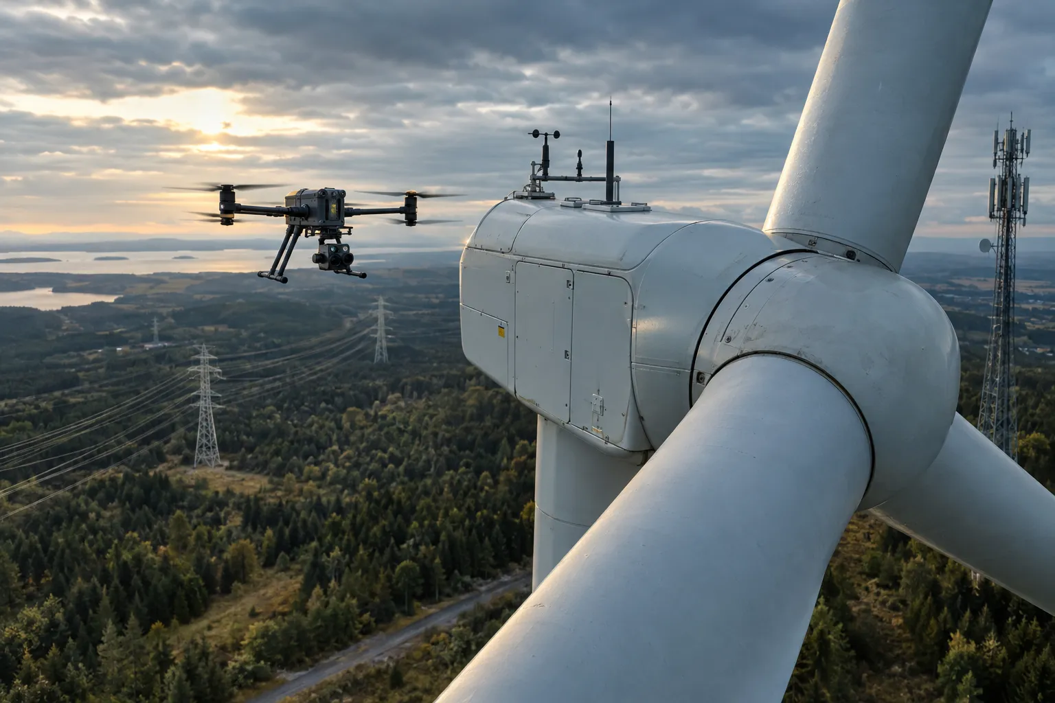
Close-range visual and thermal data on towers, turbines, solar arrays, pipelines, power lines and bridges — captured without climbers, bucket trucks or lane closures.
Critical infrastructure is tall, remote, energized or carrying traffic — which makes traditional inspection slow, expensive and risky. Our drone crews put high-resolution and thermal sensors exactly where an inspector needs to look, while your people stay on the ground.
Each mission is planned around the asset type, site access and any airspace restrictions, then flown to a repeatable pattern so you can compare condition season over season.
High-resolution imagery to spot corrosion, cracking, loose hardware, vegetation encroachment and structural wear.
Infrared capture to find hot spots, failed solar cells, overheating connections and insulation issues.
Geotagged, organized deliverables that make condition tracking and maintenance planning easier.
Yes. Drones capture close-range imagery from a safe standoff distance, so lines can typically stay energized during inspection. Each flight is planned around the utility's safety requirements.
We fly systematic patterns over the array with thermal and visual sensors, then flag panels showing hot spots, cracking, soiling or other anomalies for your O&M team.
In many cases no. Drones can document the underside and supports of bridges and overpasses with minimal or no traffic disruption, subject to local regulations.
Share a few details about your site or asset and we'll follow up with a recommended scope.