Rapid assessment
Quick aerial views of affected areas to prioritize response and allocate resources.
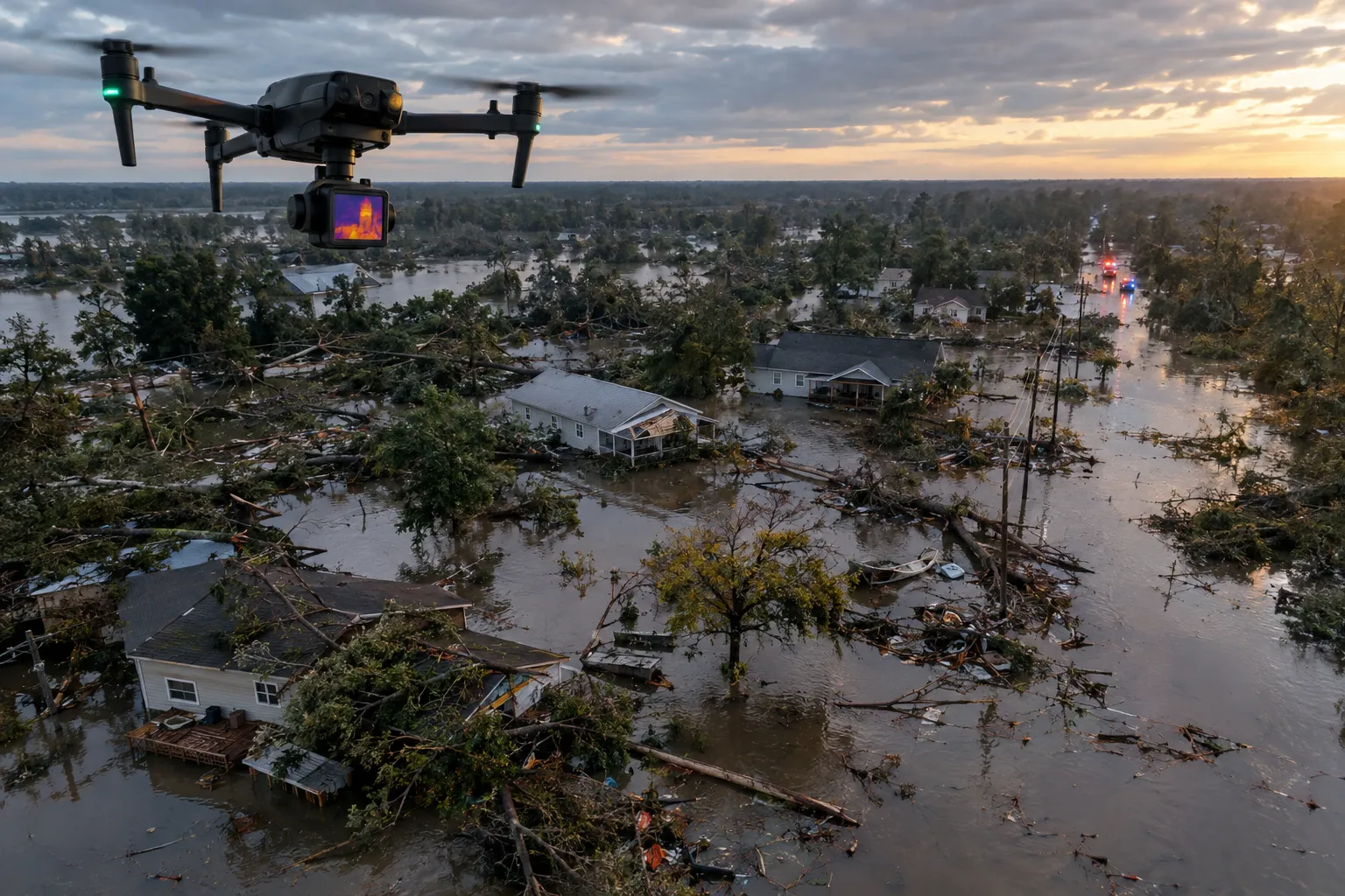
Rapid aerial situational awareness, thermal search and damage assessment that helps emergency teams, municipalities and insurers act faster after a disaster.
When roads are blocked and conditions are changing by the hour, aerial data is often the fastest way to understand what happened. Our crews deploy to capture imagery of affected areas and support teams on the ground.
Thermal-equipped drones can help search large or difficult areas, while mapping flights document damage for recovery planning and claims.
Quick aerial views of affected areas to prioritize response and allocate resources.
Infrared sensors that help locate people and heat signatures across large or hard-to-reach terrain.
Organized imagery that supports municipalities, utilities and insurers through recovery.
Drones cover large areas quickly and, with thermal cameras, can detect heat signatures that are hard to see from the ground — especially at night or in dense terrain.
We support agencies, municipalities and response organizations and coordinate flights with incident command and airspace authorities.
Yes. Post-event mapping and imagery can help property owners, insurers and adjusters assess damage at scale.
Share a few details about your site or asset and we'll follow up with a recommended scope.