Digital twins
Accurate 3D representations of physical assets for planning, operations, facilities management and simulation.
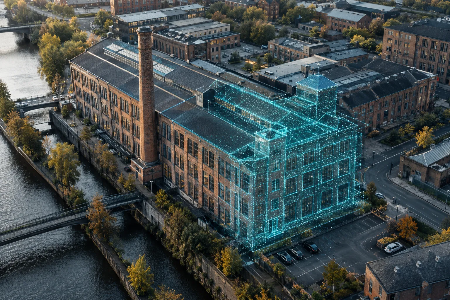
Photogrammetry, 3D models and structured aerial datasets — built for engineering teams creating digital twins and AI companies that need real-world data at scale.
A digital twin is only as good as the data behind it. We capture buildings, sites and infrastructure with dense, overlapping imagery that can be processed into accurate 3D models, maps and point clouds.
For AI and computer-vision teams, we run collection programs to your specification — consistent sensors, angles, conditions and metadata — so the data is ready for labeling and training.
Accurate 3D representations of physical assets for planning, operations, facilities management and simulation.
Scalable, spec-driven collection with consistent metadata for computer-vision and machine-learning teams.
Deliverables in the formats your engineers, GIS staff or data pipeline already use.
It's a 3D model of a real asset built from many overlapping aerial images. It can be measured, inspected and updated over time as the asset changes.
Yes. We plan collection around your requirements — subject types, angles, altitudes, lighting and metadata — and deliver organized datasets.
Common outputs include imagery sets, orthomosaics, 3D meshes and point clouds. We'll confirm formats with your team before the first flight.
Share a few details about your site or asset and we'll follow up with a recommended scope.